Il Centro
Il Centro Ricerca e Innovazione (CRI) della Fondazione Edmund Mach svolge attività di ricerca scientifica, sviluppa tecnologie e promuove innovazione nei settori dell’agricoltura, della bioeconomia, dell’ecologia, della biodiversità, dell’ambiente e dell’alimentazione.
Ricerca
Ecco le principali aree di ricerca del Centro
Comunicati stampa Lunedì, 25 Marzo 2024
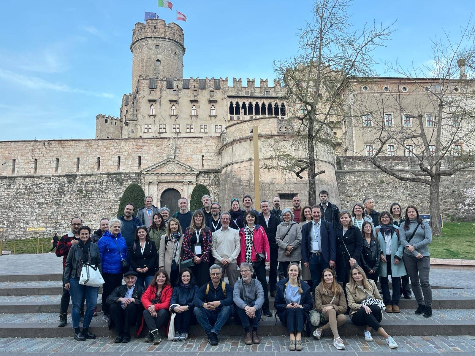
26 nazioni alla FEM per il meeting internazionale sul bioaerosol
Per quattro giorni 50 scienziati hanno discusso di aerobiologia
Leggi di più
Tempo di lettura: 1 min
Approfondimenti


Comunicati stampa

Alimentazione, stili di vita e salute nel XXI secolo
Conferenza seguitissima organizzata da Fondazione Mach al Buonconsiglio
Tempo di lettura:3 min

26 nazioni alla FEM per il meeting internazionale sul bioaerosol
Per quattro giorni 50 scienziati hanno discusso di aerobiologia
Tempo di lettura:1 min

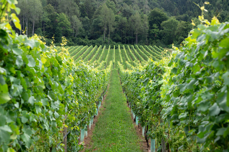
Al via la terza edizione della rassegna piwi con più di 110 etichette in gara
Oggi e domani la valutazione dei vini e il 1° dicembre la premiazione in diretta streaming

Frutta a guscio, il punto oggi alla FEM sugli sviluppi della ricerca in Italia
Aperta oggi la due giorni scientifica organizzata da Fondazione Mach in collaborazione con SOI
Eventi

27 Maggio

6 Aprile
Alimentazione, stili di vita e salute nel XXI° secolo
Convegno nell’ambito delle celebrazioni del 150° anniversario FEM
Sala delle Marangonerie - Castello del Buonconsiglio
Trento

15 Marzo
Prof. Kanelli's seminar
Exploring Greek Cistus creticus Biodiversity
Room 6302 PRC Building
Fondazione Edmund Mach

da 13 Gennaio
Mostra "Dalla terra il futuro. Viaggio nei 150 anni della Fondazione Edmund Mach"
Spazio Archeologico Sotterraneo Sas - Piazza Battisti, Trento
News

Prosegue la collaborazione internazionale in ambito forense
Secondo workshop trentino per il progetto FORESFA
Tempo di lettura:3 min

Coltiviamo la biodiversità!
Un corso per "agricoltori / allevatori custodi" - cinque incontri dal 2 febbraio al 5 aprile
Tempo di lettura:3 min

Dal campo alla tavola
La piattaforma pionieristica dell’UE per la filiera corta che mira a rimodellare le pratiche agricole non sostenibili

Giovane ricercatore FEM si aggiudica il premio EUREGIO
Anche quest’anno, i giovani ricercatori e le ricercatrici dell’Euregio Tirolo-Alto Adige-Trentino sono stati invitati a presentare i loro lavori di ricerca in occasione della dodicesima edizione del progetto.